CBS News Live
CBS News Boston: Local News, Weather & More
CBS News Boston is your streaming home for breaking news, weather, traffic and sports for the Boston area and beyond. Watch 24/7.
Watch CBS News
A greater Boston starts here
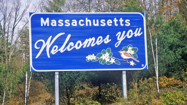
Massachusetts is well represented in the new list from U.S. News and World Report.
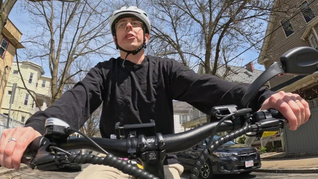
E-bikes are popping up everywhere in the Boston area and a man who loves them will let you ride one for a week for free.
A Boston College professor thinks a rise in teen suicide, anxiety and depression are linked to limits on kids' freedom.
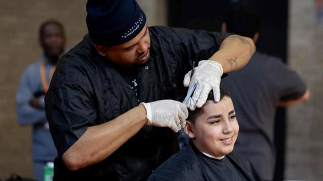
Fifth and sixth graders in Worcester were treated to a salon experience on Monday before a week of MCAS testing.

Follow live updates as former President Donald Trump's criminal trial resumes in New York.
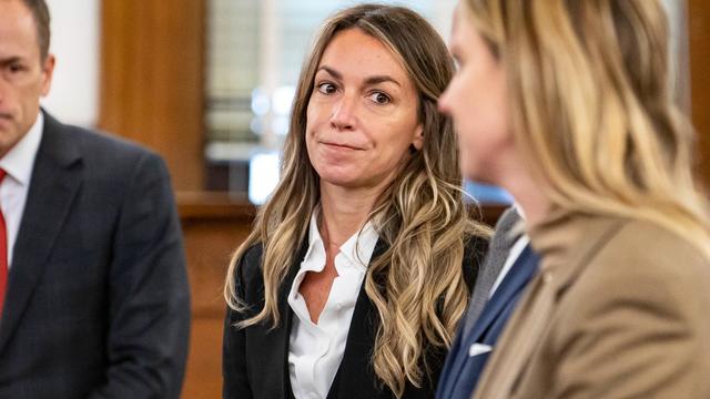
Jury selection in the murder trial of Karen Read took place again Monday as the process nears completion.
Gov. Healey is knocking down a suggestion from her transportation secretary to consider tolls at the Massachusetts border.
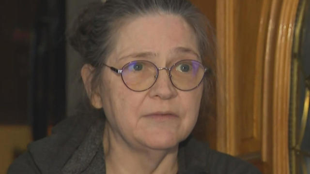
A Townsend woman was scammed into believing a famous actor was in love with her. Then the case took on a potentially more sinister turn.
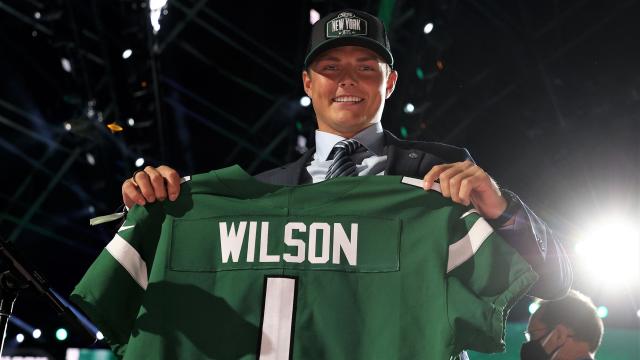
The developments with Zach Wilson provide a bit of a depressing reminder that having such a high pick in such a draft year guarantees absolutely nothing
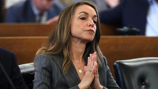
A look at the timeline of events in Karen Read's high-profile murder trial.
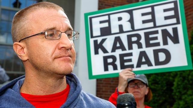
Aidan Kearney, the blogger known as "Turtleboy," is a key figure in the Karen Read trial.
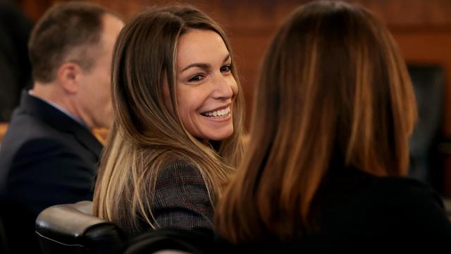
Karen Read is charged with killing her boyfriend, Boston police officer John O'Keefe.

The Woods Hole Oceanographic Institution released new video from April 2024 of a mother North Atlantic Right whale and her calf swimming in Cape Cod Bay.
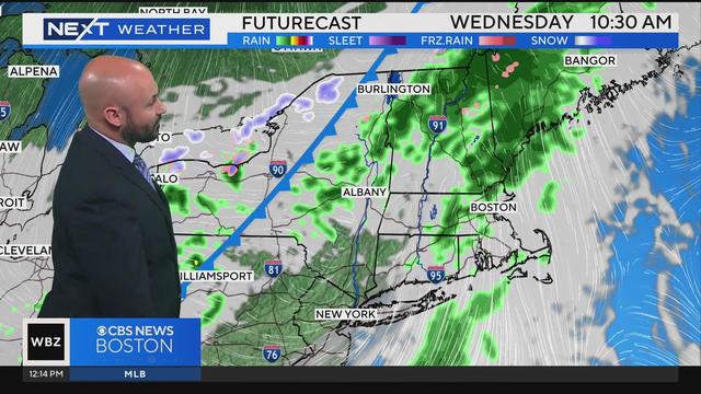
Jacob Wycoff has your latest weather forecast.
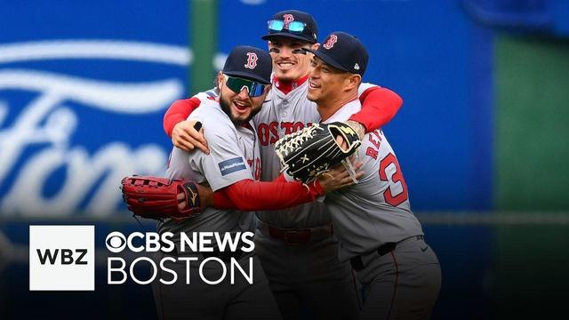
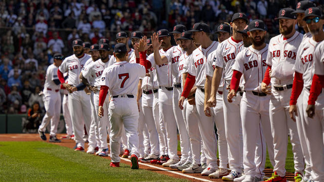
While the Red Sox can't seem to win at Fenway Park this season, they can't be beat on the road! Dan Roche and Joe Weil discuss the team's success on the road to start the season and how Alex Cora is keeping the team together despite a rash of injuries. They also discuss the continued success of the starting rotation, and give their take on a few funny stories from around Major League Baseball.

We are just over a week away from one of the biggest days in sports. Lauren Johnson from High Street Place stopped by the Mix to talk about what they're doing to celebrate.

J. Antonio Rodriguez joined the Mix to talk about the Tony-award winning show, and the shows coming up at the Boch Center.
A Townsend woman was scammed into believing a famous actor was in love with her. Then the case took on a potentially more sinister turn.

State contracts obtained by the I-Team show taxpayers are paying tens of millions of dollars to hotels for rooms and food.

Members of Gen-Z believe they are aging faster than other generations, but is that true?

Scientists are making progress in using less toxic immunotherapy instead of traditional chemotherapy to fight cancer.
Just a few days ahead of the NFL Draft, the Patriots have reportedly only received "laughable" offers for the third overall pick.
The developments with Zach Wilson provide a bit of a depressing reminder that having such a high pick in such a draft year guarantees absolutely nothing
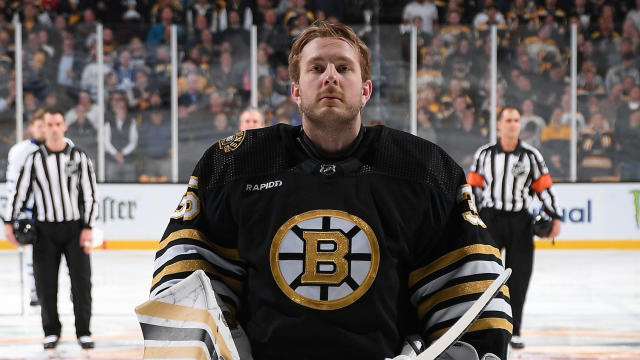
Fans may be second-guessing the Bruins for switching to Linus Ullmark for Game 2, but Jim Montgomery isn't questioning his decision.
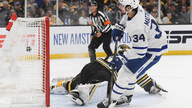
Auston Matthews scored on a breakaway to snap a third-period tie with eight minutes left, and the Toronto Maple Leafs beat the Boston Bruins 3-2 on Monday night to knot their first-round playoff series at one game apiece.
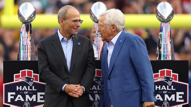
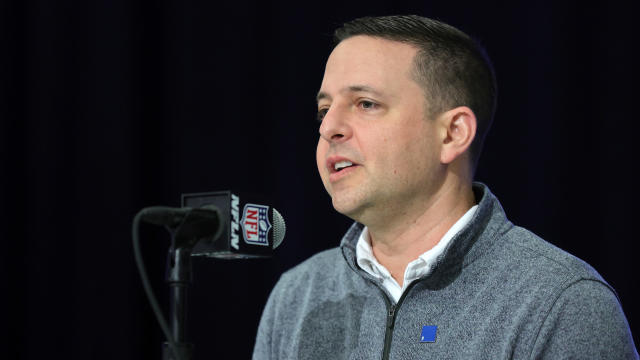
Eliot Wolf is the Patriots' main decision-maker at the moment, but team president Jonathan Kraft is also reportedly "heavily involved" in the team's pre-draft process.

Want to know if it's going to be Swayman or Ullmark in net for the Bruins on Monday night? Jim Montgomery doesn't have an answer for you, but the B's head coach had plenty of jokes.
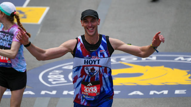
Less than a week after setting a new personal best at the 128th Boston Marathon, former Bruins captain Zdeno Chara dominated the London Marathon.
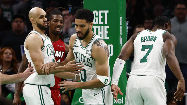
While there wasn't much drama for most of Celtics-Heat Game 1, things got pretty heated with just over a minute left when Jayson Tatum was hip-checked by Miami's Caleb Martin.
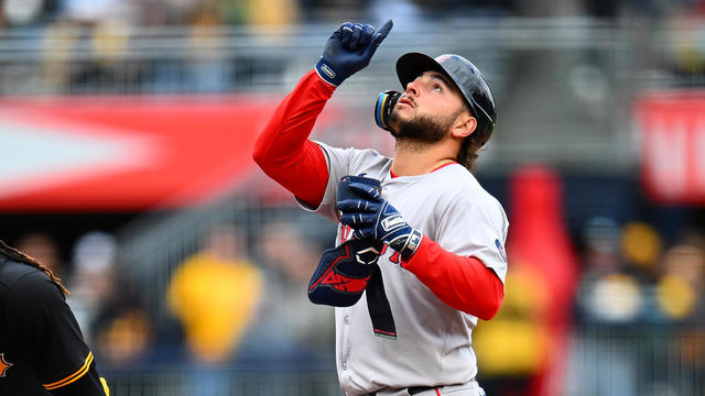
Wilyer Abreu had three hits and drove in two runs and the Boston Red Sox beat the Pittsburgh Pirates 6-1 on Sunday to complete a three-game sweep.
Believe it or not, according to data from the Tax Foundation, Massachusetts ranks better than 13 other states.
When WBZ-TV showed Boston Red Sox fans pictures of current players, few could name any of them.
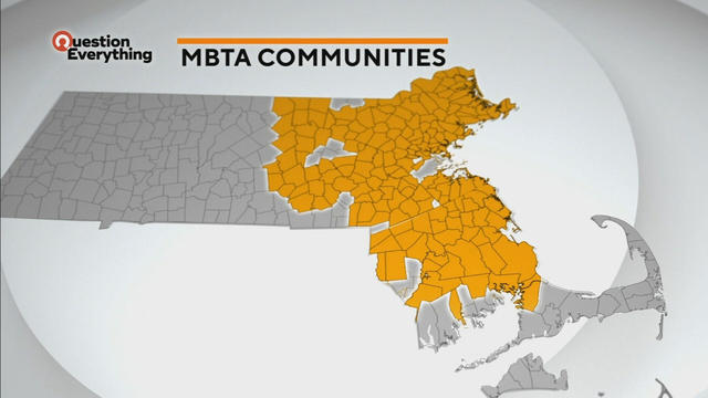
A law designed to ease the housing crunch in Massachusetts is turning into a battle between the state and some communities.
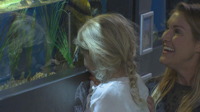
In Falmouth, just down the road from the ferry that heads to Martha's Vineyard, is an aquarium that happens to be a piece of history on Cape Cod.

Ice cream lovers are coming from all over to Holy Cow Ice Cream Cafe for their homemade ice cream and unique flavors.

A Somerville business is bringing pinball players together as they get their nostalgia fix.
Members of Gen-Z believe they are aging faster than other generations, but is that true?
Scientists are making progress in using less toxic immunotherapy instead of traditional chemotherapy to fight cancer.
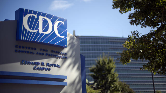
The CDC estimates the U.S. could reach 300 measles cases in 2024 — more than the recent peak two years ago.
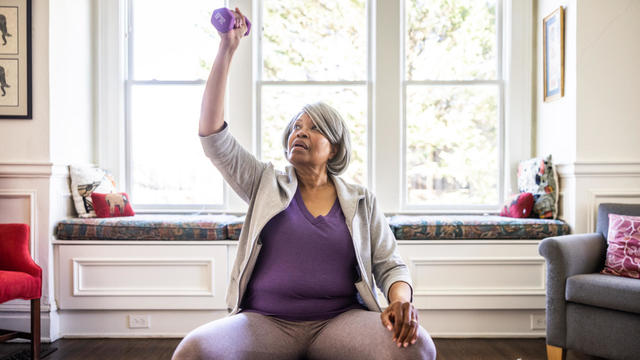
A new study finds that exercise may help reverse aging by reducing the buildup of fat.

Health officials are warning consumers not to consume Infinite Herbs basil sold at some Trader Joe's and Dierberg's stores after 12 people were sickened.
A Townsend woman was scammed into believing a famous actor was in love with her. Then the case took on a potentially more sinister turn.
State contracts obtained by the I-Team show taxpayers are paying tens of millions of dollars to hotels for rooms and food.
A fourth-grade teacher at an elementary school in Cambridge is facing child rape charges.
William Foley Jr., a five-time drunk driver who lost his license after a fatal crash in 2001, is back behind bars after an I-Team investigation.
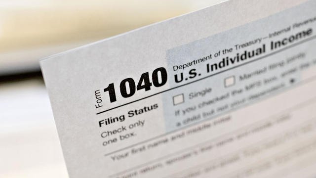
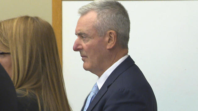
The IRS Criminal Investigation unit helps go after violent criminals, including some right here in Boston.

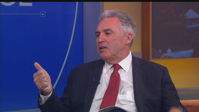
Massachusetts State Sen. Peter Durant weighed in on budget concerns in Massachusetts.

According to ADL's annual Audit of Antisemitic Incidents, Massachusetts had the fifth most incidents in the country last year, up a shocking 189 percent over 2022.
"It's the golden goose," said Rooney of Boston's commercial property taxes, which provides a large percentage of the city's annual revenue.

MBTA General Manager Phil Eng gets high marks for improving the T's management and culture, but there's a lot of red ink that needs to be dealt with, says WBZ-TV's Jon Keller.
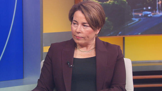
As Beacon Hill struggles to deal with a surge of homeless migrants, Governor Maura Healey finds herself dealing with another surge -- of political outrage over reports of migrant crime.
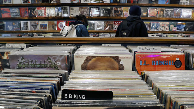
April 20, 2024 is Record Store Day. See which record shops in Massachusetts are participating.

Boston Dynamics' latest robot is ready to "exceed human capabilities," the company says.
Rising costs are forcing small businesses located on Boston's Massachusetts Avenue to close.

Boston-based box wine brand Alileo teamed up with Caffe Nero to launch a coffee and wine experience in Massachusetts.
Today is Patriots' Day in Massachusetts. Here's what to know about the celebrations and what's open and closed for the holiday.

The 2024 cicada broods will not be emerging in Massachusetts - but the buzzing bugs are set to appear here in 2025.
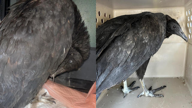
A pair of vultures thought to be "actively dying" actually had too much to drink, wildlife rescuers in Connecticut say.

A fluffy pile of golden retrievers took over the Boston Common in memory of Spencer the marathon dog.

The thick fog made for an eerie sight as the Mayflower II crossed the Cape Cod Canal.

A piece of decades-old military equipment washed up on a Cape Cod beach last week.

Ming Tsai demonstrates how to cook a traditional Chinese street food - Ming's bings.

Founded out of love, Rustic Marlin is a home décor and lifestyle brand with a unique origin story in Massachusetts.
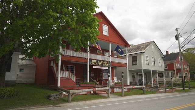
The Vermont Country Store has since become an iconic destination for locals and tourists alike.

Creating an inviting environment for the community to meet, enjoy and participate in the arts

For over 85 years, Weston Theater Company has been creating engaging, entertaining, and inspiring theater.
Follow live updates as former President Donald Trump's criminal trial resumes in New York.
Fifth and sixth graders in Worcester were treated to a salon experience on Monday before a week of MCAS testing.

Customers who rely on government assistance programs can get same perks as Prime members, for less.

In November 2023, NASA's Voyager 1 spacecraft stopped sending "readable science and engineering data."
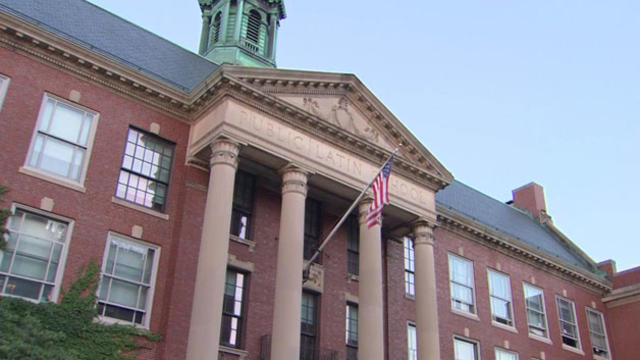
U.S. News and World Report put out its annual list of top-ranked high schools, and Massachusetts is well represented.
Just a few days ahead of the NFL Draft, the Patriots have reportedly only received "laughable" offers for the third overall pick.
The developments with Zach Wilson provide a bit of a depressing reminder that having such a high pick in such a draft year guarantees absolutely nothing
Fans may be second-guessing the Bruins for switching to Linus Ullmark for Game 2, but Jim Montgomery isn't questioning his decision.
Auston Matthews scored on a breakaway to snap a third-period tie with eight minutes left, and the Toronto Maple Leafs beat the Boston Bruins 3-2 on Monday night to knot their first-round playoff series at one game apiece.
Eliot Wolf is the Patriots' main decision-maker at the moment, but team president Jonathan Kraft is also reportedly "heavily involved" in the team's pre-draft process.