CBS News Live
CBS News Boston: Local News, Weather & More
CBS News Boston is your streaming home for breaking news, weather, traffic and sports for the Boston area and beyond. Watch 24/7.
Watch CBS News
A greater Boston starts here
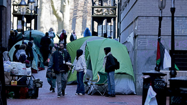
Pro-Palestinian Emerson College students say they are determined to stay in a small tent city they created in alley off the campus.
A Massachusetts man is facing charges after police said he assaulted two women while running an unlicensed chiropractic business.

Senators approve foreign aid package that includes a potential ban on TikTok in the U.S. Here's what experts say could happen next.

What started at Columbia University has spread to colleges in Massachusetts and beyond: pro-Palestinian students accelerating their protests of the war between Israel and Hamas.

Researchers spotted a 37-year-old right whale mother named Wolf and her calf off the coast of Massachusetts.
Massachusetts is well represented in the new list from U.S. News and World Report.
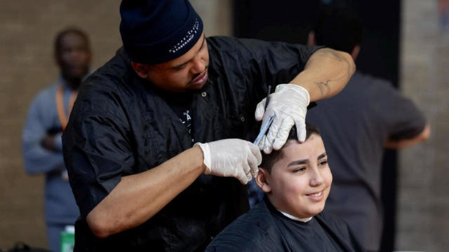
Fifth and sixth graders in Worcester were treated to a salon experience on Monday before a week of MCAS testing.

Researchers on Cape Cod are trying to come up with a new straw made from trees that will break down in nature faster.

Jurors in former President Donald Trump's trial in New York heard testimony from a former media executive about his efforts to bury negative stories about Trump before the 2016 presidential election.
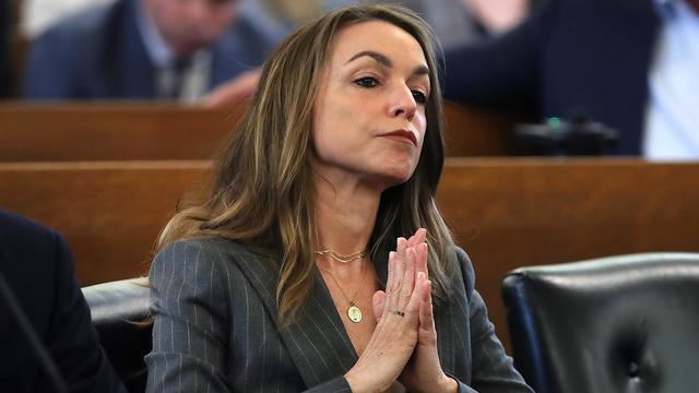
A look at the timeline of events in Karen Read's high-profile murder trial.
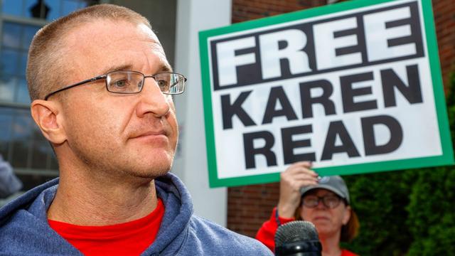
Aidan Kearney, the blogger known as "Turtleboy," is a key figure in the Karen Read trial.
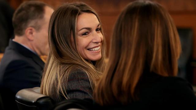
Karen Read is charged with killing her boyfriend, Boston police officer John O'Keefe.
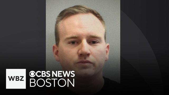
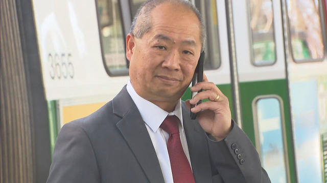
Michael MacNeilly, a Manchester police officer, faces multiple misdemeanor charges.

Protesters are camped out on three Boston colleges. Many are asking schools to divest from Israel-linked companies. WBZ-TV's Brandon Truitt reports.
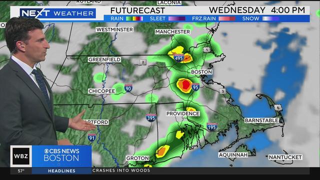
WBZ-TV's David Wade and Eric Fisher have the latest news and weather.
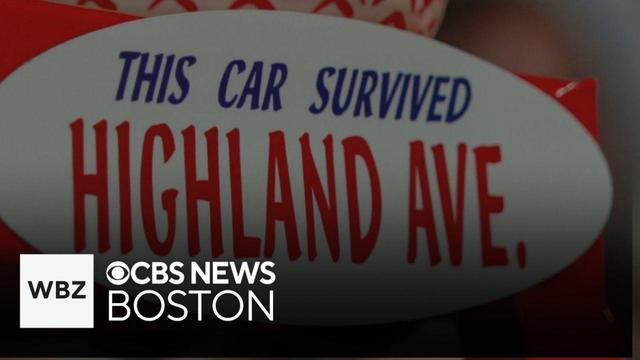
A bumper sticker that says "This Car Survived Highland Avenue" has neighbors wondering when the troublesome road will get an overhaul. WBZ-TV's Mike Sullivan reports.

The llamas walked the hallways inside a Housing Authority building in Cambridge on Tuesday.
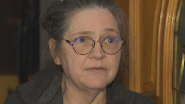
A Townsend woman was scammed into believing a famous actor was in love with her. Then the case took on a potentially more sinister turn.

State contracts obtained by the I-Team show taxpayers are paying tens of millions of dollars to hotels for rooms and food.

Members of Gen-Z believe they are aging faster than other generations, but is that true?

Scientists are making progress in using less toxic immunotherapy instead of traditional chemotherapy to fight cancer.
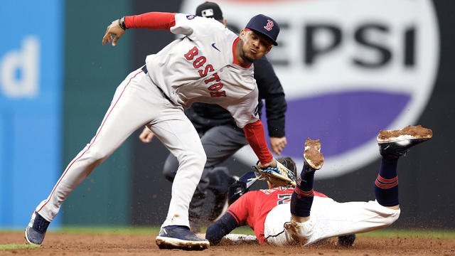
Tyler Freeman and Bryan Rocchio had RBIs in the seventh inning when Cleveland finally scored against Boston's Tanner Houck, and José Ramírez homered as the Guardians kept up their scorching start with a 4-1 win over the Red Sox on Tuesday night.
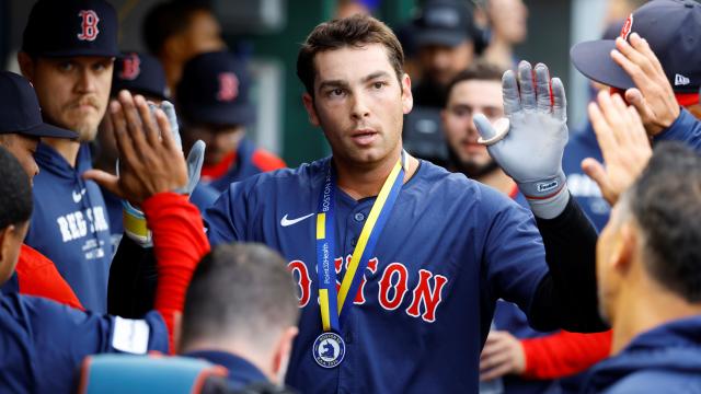
Manager Alex Cora told reporters on Tuesday in Cleveland that Triston Casas suffered a rib fracture and will be out for a while.
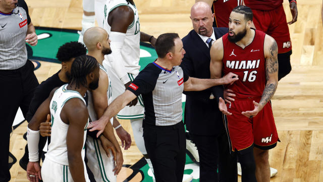
The Boston Celtics are not a group to run away from a challenge or a confrontation.
Just a few days ahead of the NFL Draft, the Patriots have reportedly only received "laughable" offers for the third overall pick.
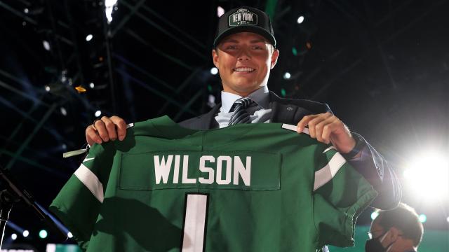
The developments with Zach Wilson provide a bit of a depressing reminder that having such a high pick in such a draft year guarantees absolutely nothing
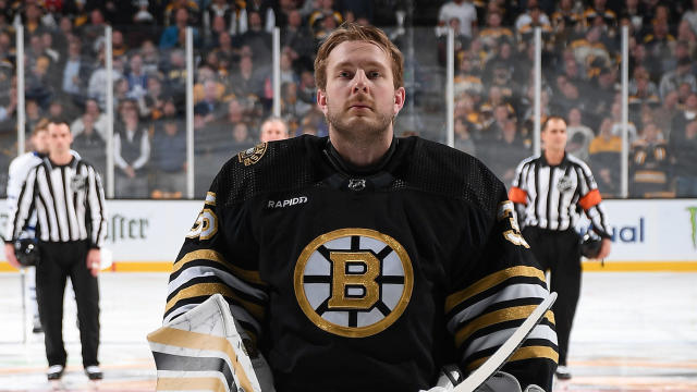
Fans may be second-guessing the Bruins for switching to Linus Ullmark for Game 2, but Jim Montgomery isn't questioning his decision.
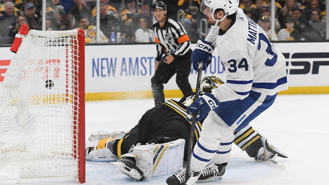
Auston Matthews scored on a breakaway to snap a third-period tie with eight minutes left, and the Toronto Maple Leafs beat the Boston Bruins 3-2 on Monday night to knot their first-round playoff series at one game apiece.
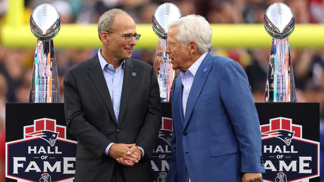
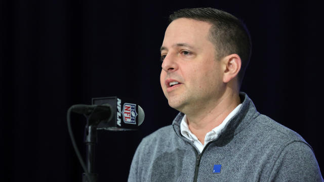
Eliot Wolf is the Patriots' main decision-maker at the moment, but team president Jonathan Kraft is also reportedly "heavily involved" in the team's pre-draft process.

Want to know if it's going to be Swayman or Ullmark in net for the Bruins on Monday night? Jim Montgomery doesn't have an answer for you, but the B's head coach had plenty of jokes.
Believe it or not, according to data from the Tax Foundation, Massachusetts ranks better than 13 other states.
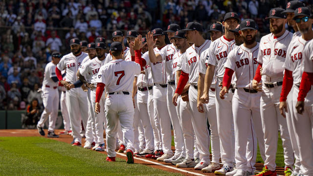
When WBZ-TV showed Boston Red Sox fans pictures of current players, few could name any of them.
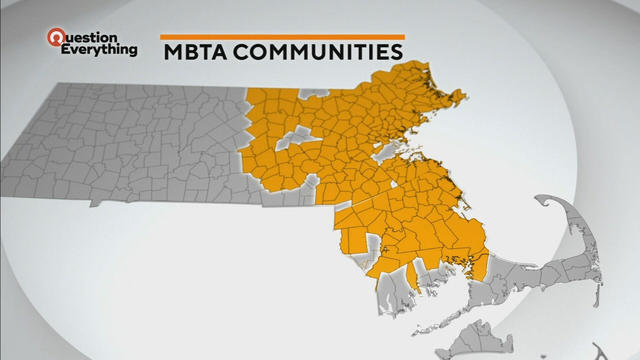
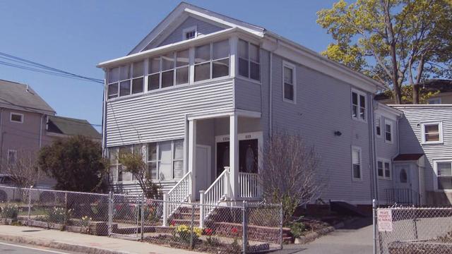
A law designed to ease the housing crunch in Massachusetts is turning into a battle between the state and some communities.
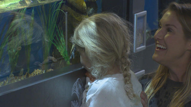
In Falmouth, just down the road from the ferry that heads to Martha's Vineyard, is an aquarium that happens to be a piece of history on Cape Cod.

Ice cream lovers are coming from all over to Holy Cow Ice Cream Cafe for their homemade ice cream and unique flavors.

A Somerville business is bringing pinball players together as they get their nostalgia fix.
Members of Gen-Z believe they are aging faster than other generations, but is that true?
Scientists are making progress in using less toxic immunotherapy instead of traditional chemotherapy to fight cancer.
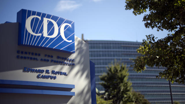
The CDC estimates the U.S. could reach 300 measles cases in 2024 — more than the recent peak two years ago.
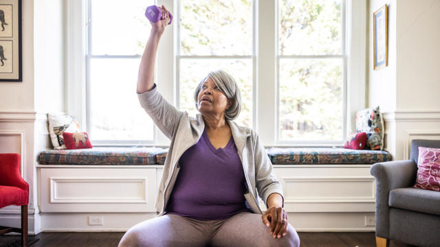
A new study finds that exercise may help reverse aging by reducing the buildup of fat.

Health officials are warning consumers not to consume Infinite Herbs basil sold at some Trader Joe's and Dierberg's stores after 12 people were sickened.
A Townsend woman was scammed into believing a famous actor was in love with her. Then the case took on a potentially more sinister turn.
State contracts obtained by the I-Team show taxpayers are paying tens of millions of dollars to hotels for rooms and food.
A fourth-grade teacher at an elementary school in Cambridge is facing child rape charges.
William Foley Jr., a five-time drunk driver who lost his license after a fatal crash in 2001, is back behind bars after an I-Team investigation.
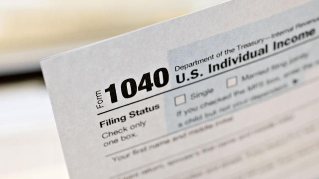
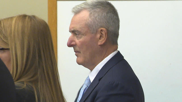
The IRS Criminal Investigation unit helps go after violent criminals, including some right here in Boston.
What started at Columbia University has spread to colleges in Massachusetts and beyond: pro-Palestinian students accelerating their protests of the war between Israel and Hamas.

Massachusetts State Sen. Peter Durant weighed in on budget concerns in Massachusetts.

According to ADL's annual Audit of Antisemitic Incidents, Massachusetts had the fifth most incidents in the country last year, up a shocking 189 percent over 2022.
"It's the golden goose," said Rooney of Boston's commercial property taxes, which provides a large percentage of the city's annual revenue.
MBTA General Manager Phil Eng gets high marks for improving the T's management and culture, but there's a lot of red ink that needs to be dealt with, says WBZ-TV's Jon Keller.
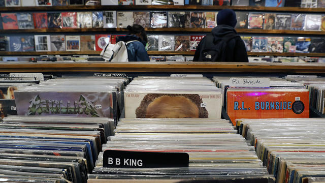
April 20, 2024 is Record Store Day. See which record shops in Massachusetts are participating.

Boston Dynamics' latest robot is ready to "exceed human capabilities," the company says.
Rising costs are forcing small businesses located on Boston's Massachusetts Avenue to close.

Boston-based box wine brand Alileo teamed up with Caffe Nero to launch a coffee and wine experience in Massachusetts.
Today is Patriots' Day in Massachusetts. Here's what to know about the celebrations and what's open and closed for the holiday.
Researchers spotted a 37-year-old right whale mother named Wolf and her calf off the coast of Massachusetts.

The 2024 cicada broods will not be emerging in Massachusetts - but the buzzing bugs are set to appear here in 2025.
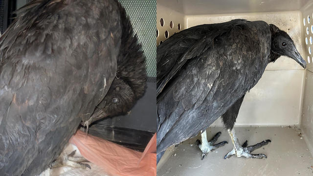
A pair of vultures thought to be "actively dying" actually had too much to drink, wildlife rescuers in Connecticut say.

A fluffy pile of golden retrievers took over the Boston Common in memory of Spencer the marathon dog.

The thick fog made for an eerie sight as the Mayflower II crossed the Cape Cod Canal.

Ming Tsai demonstrates how to cook a traditional Chinese street food - Ming's bings.
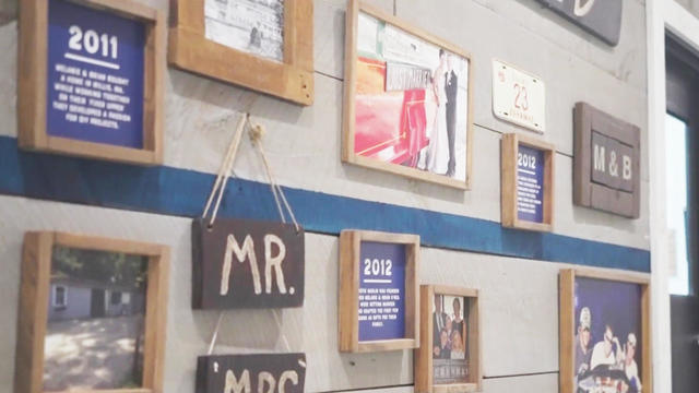
Founded out of love, Rustic Marlin is a home décor and lifestyle brand with a unique origin story in Massachusetts.
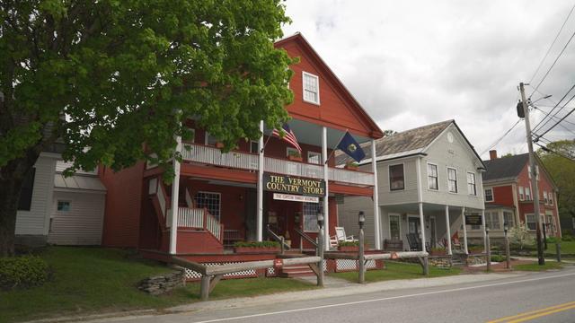
The Vermont Country Store has since become an iconic destination for locals and tourists alike.
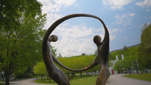
Creating an inviting environment for the community to meet, enjoy and participate in the arts
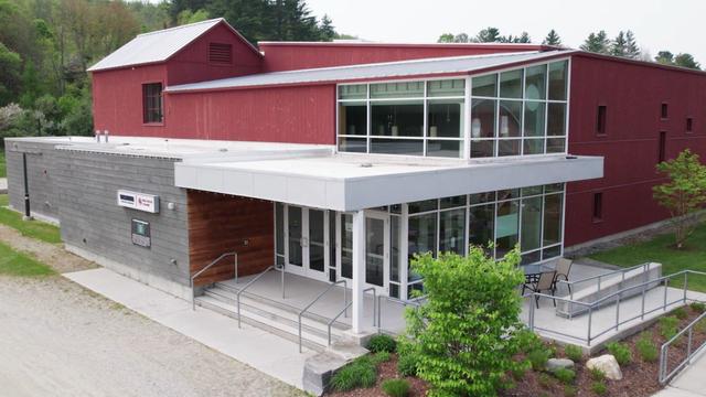
For over 85 years, Weston Theater Company has been creating engaging, entertaining, and inspiring theater.
Jurors in former President Donald Trump's trial in New York heard testimony from a former media executive about his efforts to bury negative stories about Trump before the 2016 presidential election.
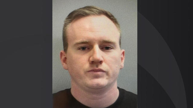
Michael MacNeilly, 28, a Manchester, New Hampshire, police officer faces multiple misdemeanor charges, including six counts of simple assault.
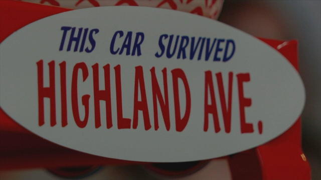
Highland Avenue is legendary in Somerville for potholes, double parking and poor design. Now a bumper sticker is calling out the city.
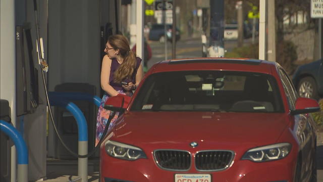
WBZ-TV calculated the cost of various commutes based on the mileage of a Ford Explorer. Commuters will pay a hefty price.
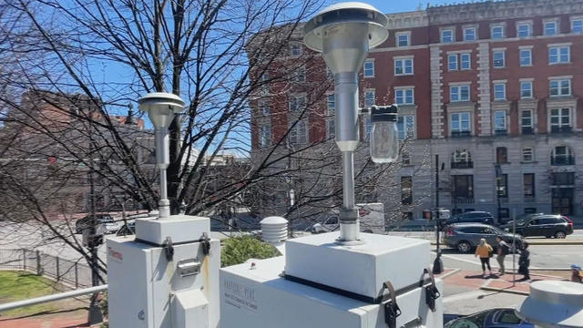
To celebrate Earth Week, the Healey-Driscoll administration announced a $775,000 grant to expand the network of air quality sensors across the Commonwealth.
Tyler Freeman and Bryan Rocchio had RBIs in the seventh inning when Cleveland finally scored against Boston's Tanner Houck, and José Ramírez homered as the Guardians kept up their scorching start with a 4-1 win over the Red Sox on Tuesday night.
Manager Alex Cora told reporters on Tuesday in Cleveland that Triston Casas suffered a rib fracture and will be out for a while.
The Boston Celtics are not a group to run away from a challenge or a confrontation.
Just a few days ahead of the NFL Draft, the Patriots have reportedly only received "laughable" offers for the third overall pick.
The developments with Zach Wilson provide a bit of a depressing reminder that having such a high pick in such a draft year guarantees absolutely nothing